International Maritime Law: Southeast is NOT Landlocked (MUST READ) | #IgbereTV
By: Michael King.
It is either the purveyors of this falsehood are ignorant or are just deliberately mischievous.
First there are international conventions on maritime passage ways. These conventions on the passage through waters are binding on legally recognised sovereign states and not break away states as in the case of the old Biafra – more reason why the Biafrans lost the war, when shipments where seized through the Bakassi axis of the sea.
That’s not the crux of this exposé.
Many people don’t understand the difference between the ocean, River and other water tributaries. They make the notional mistake that once a sea passes through their geographical space – then they can seize any vessel on transit. If it were so – the Iranians, Saudis, Iraq and Syria would have gone to war over the gulf of Persia. Then talk about the straits of Homuz. Nuclear bombs would have been going off there.
Oceans are large water bodies that have depths up to or beyond 12,100 feet, while anything below that counts as a river or stream.Measuring the depth of a river is not that easy because of the source of the water and the underneath columns. In other words a river is a water body that empties itself into the depth of the ocean.
You see waters are connected to each other – source paths and distributive ends. In most cases rivers are close to the shores – close to the people.
Shores are where seaports are built for vessels to berth. For a seaport to be fully functional the pathway from the sea depth to the shore has to be dredged; the removal of obstructive wastes on the maritime pathway to deepen the waterway.
The path from the sea to the shore is measured in Nautical miles. A standard measurement unit for air and marine. A Nautical mile is about 1.8 kilometres. 1800 meters. For a seaport to be sited at a place, the shore must have a connection to the sea. And that connection to the sea goes through tributaries, these tributaries dredged to get the desired depth for vessels.
Now to debunk the lies, we must look at Portharcourt ports, Calabar, Onne and Lagos sea ports. The question then is how many Nautical miles are these seaports ( Shorelines) to the sea? Lagos is 50 Nautical miles, Portharcourt 60 Nautical miles, Onne 60 Nautical miles, Calabar 45 miles. Fully dredged with seaports. Ships passing through these waters under international maritime laws.
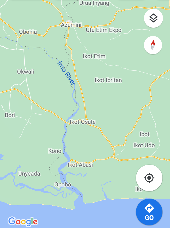
So how come the south East is landlocked when we have the Azumiri blue river with 23 Nautical miles. The Oseakwa River in Ihiala 18 Nautical miles. The Obeaku River in Abia state with 25 Nautical miles to Atlantic beach. Uguta lake is about 15 Nautical miles to the sea. These are waters with direct access to the ocean.
In the case of a sovereign state of the south East, access to the ocean can never be denied whatsoever by any dead or living soul.
You can dredge the river even if Rivers state will not be part of Biafra, the only thing it will cost is paying toll fee to nigeria per ship passage. And Nigeria cannot say NO. Its a an international law for nigeria to grant Biafra such access.
There’s a conventional law guiding this which was set aside by UN and which nigeria had signed to. Biafra is not even a problem because we have a river linking the ocean directly to biafra (without port Harcourt) with a distance of nearly 40miles. Nigeria will only be forced to agree to the treaty of convention of transit trade of landlocked countries. Biafra is even very close to the sea, unlike switzerland, Belarus and Sudan and their ports function well.
My question is: how can a region that has nearer access to the sea than its neighbours be said to be landlocked?
You can see what lies and deceptive indoctrination can do to a people. This lie is the reason why there is no functional seaport in the southeast. Why can’t Azumiri be dredged?
Why can’t Obeaku? Why can’t Uguta and others not mentioned here be dredged? The economic impact this has had on the south east is immeasurable. If only Azumiri was dredged or Uguta or River Niger leading up to Onitsha – Apapa would have been a ghost town.
The truth is, when the lies of yesterday becomes exposed the anger that would ensue you can’t contain.
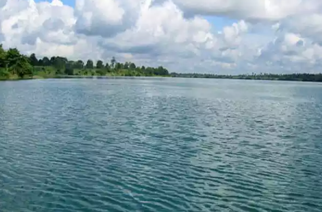
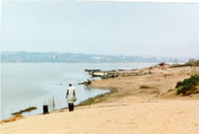
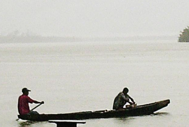
Below are Map and photos of Azumini Blue River in Abia State